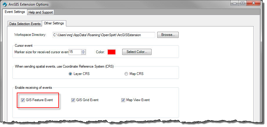
ArcGIS is enabled for listening to GIS events as long as the lightening bolt is enabled on the OpenSprit toolbar and the "GIS Feature Event" option is chosen in the options dialog:
When a GIS event is received a new in-memory feature class will be created and added to the map with its display symbology set by the basic display properties carried in the incoming event:
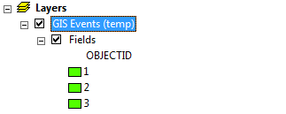
Note that in order to honor the individual display properties of the incoming features a unique value renderer is created on the feature class based on the objectid. The basic display properties carried in the OpenSpirit GIS event includes:
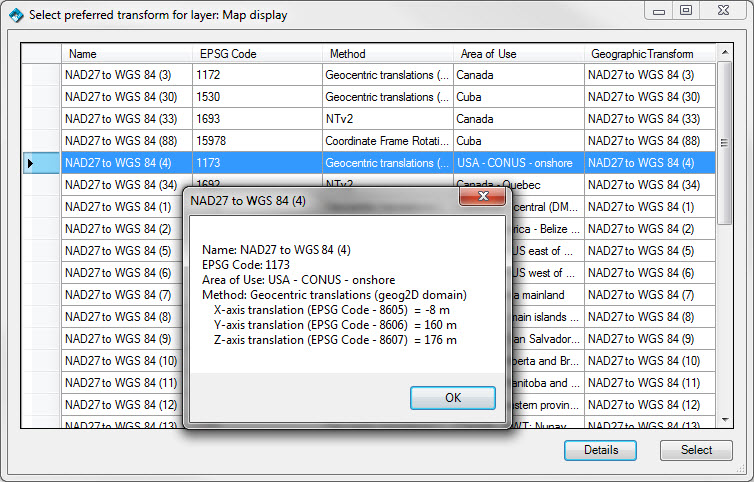
The created feature classes have the CRS as set on the GIS event layers by the sending application. If the feature class CRS has a datum that differs from the current map display CRS datum and a suitable transform is not already set in the ArcGIS project, the user is prompted to select a transform from a list based on the EPSG database used by the OpenSpirit coordinate service. If the CRS has a list of fall-back transforms, the user will be prompted to select one to use; otherwise, the preferred transform on the CRS will be set on the ArcMap map. Tthe details of the EPSG parameters may be shown in order to help guide this transform selection.