Note: The Zoom Visibility settings are not applicable when the coordinate reference system for the map chart appearance is set to None.
Option |
Description |
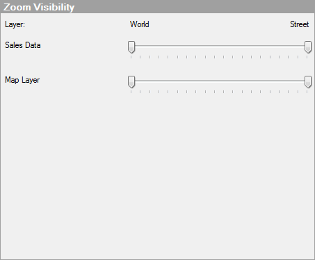
Layer |
Lists all layers currently included in the map chart. Use the slider for each layer to set the zoom range within which the layer should be visible. The sliders correspond to the same zoom levels as the zoom slider in the map. This is especially useful for hiding layers with lots of details when the map is in a zoomed out state, and to show the details when zooming in. For example, you can use these settings to hide a layer with city name labels until you have reached the county zoom level. Note: If auto-zoom is used, the settings for an individual layer will not affect the zoom visibility. The slider furthest to the left and the slider furthest to the right will specify the visibility, regardless of layer. |
World |
The World label indicates that this is the zoom level where the map chart is zoomed out as far as possible. |
Street |
The Street label indicates that this is the zoom level where the map is zoomed in as far as possible. |
See also: