This dialog is used to specify the default coordinate reference systems for the map chart and the image, feature, and marker layers of the map chart. It is also used to specify which coordinate reference systems should be listed in the properties page for the map chart and the settings pages for the layers.
To reach the Coordinate Reference Systems dialog:
Select Tools > Options....
Select Map Chart.
Click Coordinate Reference Systems.
Option |
Description |
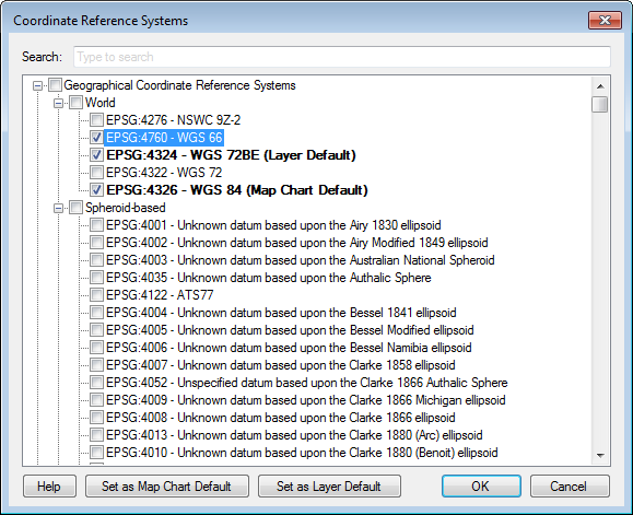
Search: |
Search for a coordinate reference system in the list. |
[List] |
Lists all available coordinate reference systems. Select the check boxes for all coordinate reference systems you want to list in the drop down-list in the properties pages for the map chart and the individual layers. |
Set
as Map Chart Default |
Click the name of a coordinate reference system and this button to set the selected coordinate reference system as the default for the map chart. |
Set
as Layer Default |
Click the name of a coordinate reference system and this button to set the selected coordinate reference system as the default for the individual layers. |
See also: